
Kirkby
Travel Guide
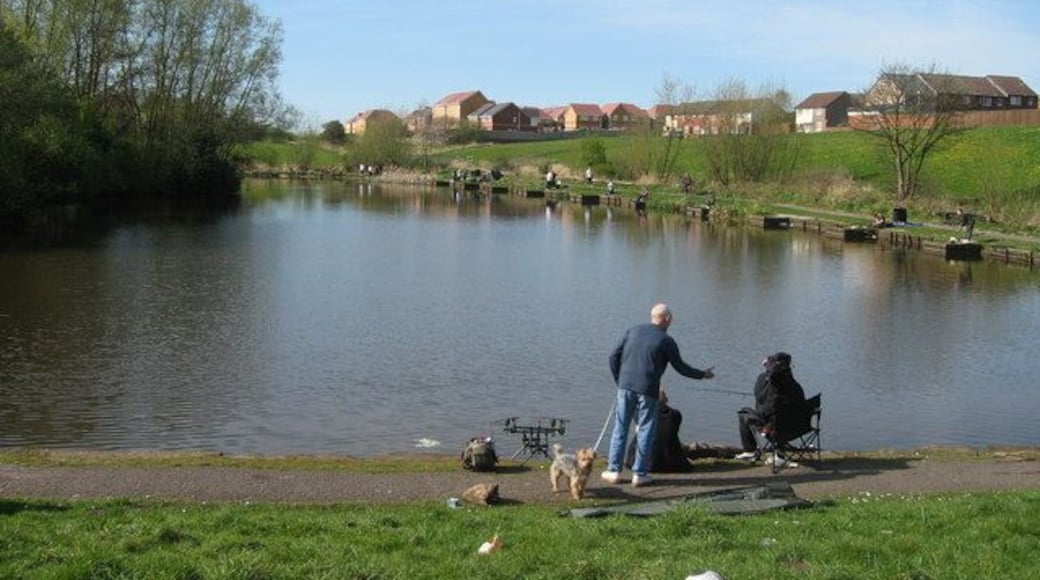

Visit Kirkby

Titanic Hotel Liverpool
"Stunning hotel"
Reviewed on 2026/6/22

Daresbury Park Hotel
"Before booking our two rooms for two nights, I called the hotel specifically to ask whether there were any restrictions on pool access. I was told there were none. When we arrived on the Friday evening with time to use the pool, we were informed that children's hours operated differently and we had ..."
Reviewed on 2026/6/22

Maldron Hotel Liverpool City
"The only thing that spoilt the stay, was the loud banging doors. The rooms aren't brilliant for soundproofing."
Reviewed on 2026/6/22

Citadines City Centre Liverpool
"The property was ideally located, a short walk from Lime St station and right in the heart of the shopping district.. The apartment was well organised and excellent except for two small concerns. The shower is over a very deep bath and getting in and out required a lot of caution and agility as there ..."
Reviewed on 2026/6/22

8 Stanley Street

Hy Lytham St Annes
"Great location, lovely apartment and pool great"
Reviewed on 2026/6/13
Popular places to visit

Anfield Stadium
Many locals consider the home of Liverpool’s soccer team sacred, and on a game day it is one of the most exciting places in the city.
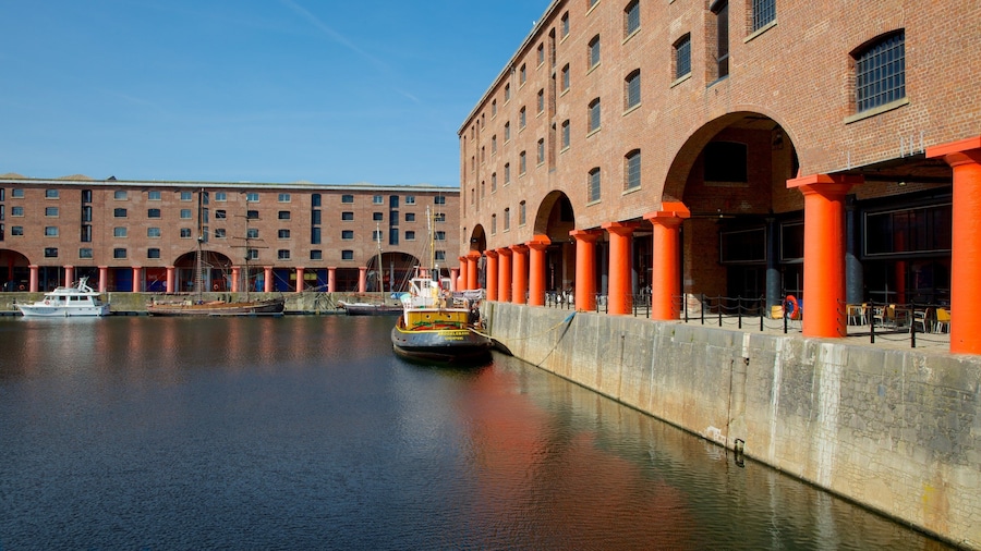
Royal Albert Dock
Liverpool’s fashionable waterfront precinct is home to some of the city’s best restaurants and bars, and many of the city’s best museums.
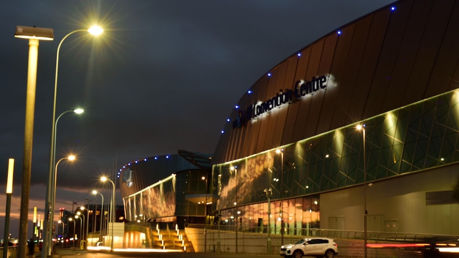
M&S Bank Arena
Catch an event at M&S Bank Arena during your trip to Liverpool. Wander the area's marina or simply enjoy one of its top-notch restaurants.

Liverpool ONE
Shop, dine, play a round of golf or catch the latest movies in this enormous outdoor shopping and entertainment complex, right in the heart of Liverpool.
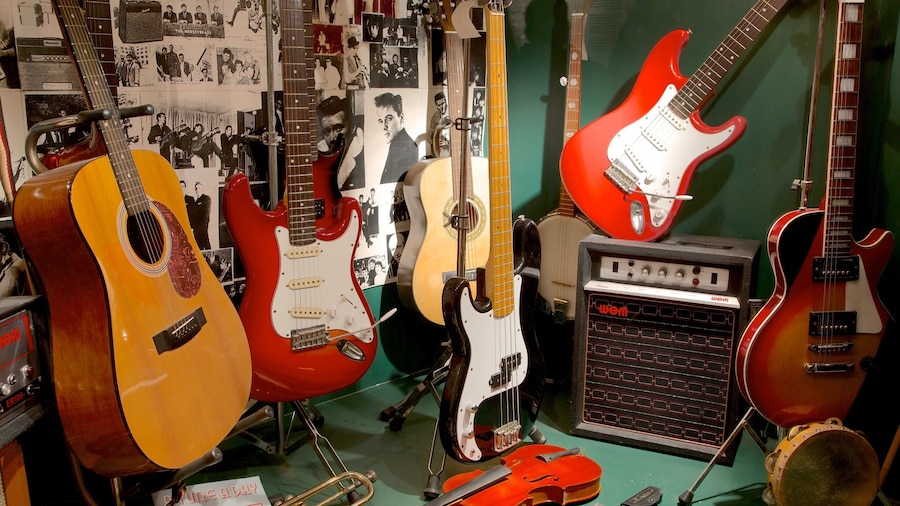
The Beatles Story Museum
Explore this dedicated museum to John, Paul, George and Ringo and learn the story of the Beatles.

Knowsley Safari Park
See the exotic and native animals who call Knowsley Safari Park home during your trip to Liverpool. Experience the entertainment choices and acclaimed theater scene in this walkable area.
Explore a world of travel with Expedia
- Hotel Wedding Venues Hotels in Runcorn
- Wigan Hotels
- Houseboats in Wigan District
- Bootle Hotels
- Residences in Metropolitan Borough of Sefton
- Hotels near Royal Albert Dock
- St Helens Hotels
- Runcorn Hotels
- Hotels near Royal Liver Building
- Wallasey Hotels
- Widnes Hotels
- Great Sankey Hotels
- Cabin Rentals in Merseyside
- Leyland Hotels
- Hostels in Metropolitan Borough of Sefton
- Leigh Hotels
- Birkenhead Hotels
- Town Houses in Saint Helens District
- Wirral Hotels
- Inns in Knowsley District
- Casino Hotels in Liverpool
- Whiston Hotels
- Heswall Hotels
- Ropewalks Hotels
- Skelmersdale Hotels
- Rainhill Hotels
- Hotel Wedding Venues Hotels in Warrington
- Newton-Le-Willows Hotels
- Hotels with Bars in Baltic Triangle
- Neston Hotels
- Liverpool Hotels
- Cheap Hotels in Liverpool
- Aintree Racecourse
- Merseyside Maritime Museum
- Visit Halsall
- Visit Bootle
- Sherdley Park
- St. George's Hall
- The Beatles Story Museum
- International Slavery Museum
- University of Liverpool
- Visit Warrington
- Liverpool ONE
- Prescot Clock Museum
- Knowsley Safari Park
- Liverpool Central Library
- Daresbury Vacations
- Visit Tarleton
- Liverpool Vacations
- Visit Runcorn
- Wheel of Liverpool
- Fort Perch Rock
- Calderstones Park
- Visit Birkenhead
- Wwt Martin Mere Wetland Centre
- Visit Coppull
- Mersey Go Karting Northwest
- Royal Albert Dock
- Dw Stadium
- Crosby Beach
- Wigan Pier
- Gulliver's World - Warrington
- Museum of Liverpool
- World Museum Liverpool
- Visit Liverpool
- Bj's Bingo
- Visit Daresbury
- Visit Huyton
- Liverpool Cathedral
- Visit Skelmersdale
- Southport Marine Lake
- Genting Casino

