
皮斯希爾
旅遊指南

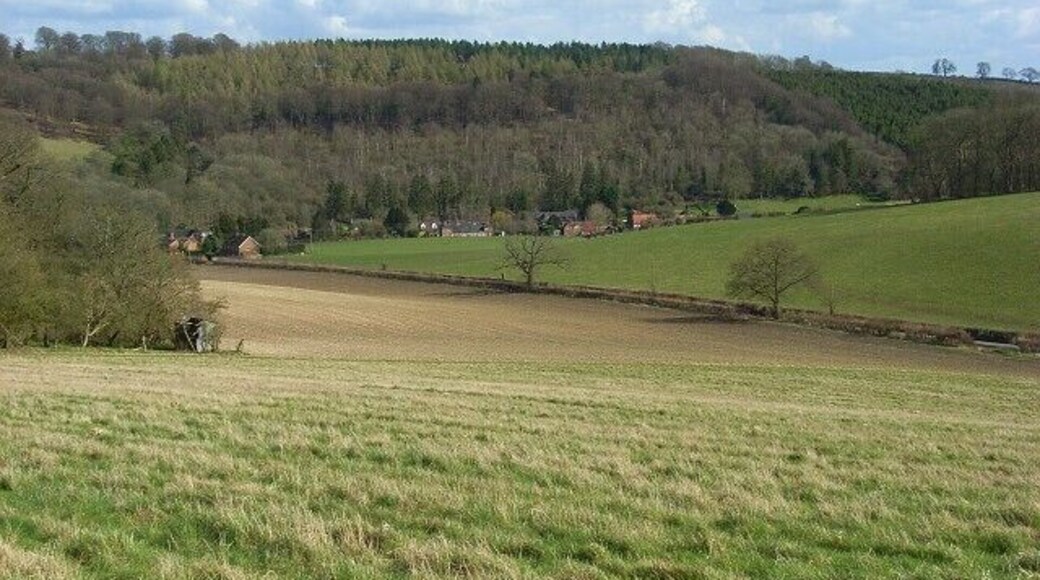


皮斯希爾旅遊資訊

布拉克內爾Village飯店
Bagshot Road Bracknell England
8月2日至8月3日價格為每晚 NT$2,133
NT$2,133
每晚
8月2日 - 8月3日
此飯店位於布萊克內爾。這裡有免費無線上網、可供應早餐和三溫暖等設施服務。許多旅客在評論中提到,他們很喜歡這間住宿的友善員工。溫莎樂高樂園和雅士谷馬場等著名景點就在附近。

貝爾特雷丁飯店
Oxford Road Reading England
7月31日至8月1日價格為每晚 NT$2,695
NT$2,695
每晚
7月31日 - 8月1日
此親子飯店位於瑞丁。這裡有免費無線上網、可供應早餐和 24 小時客房餐點服務等設施服務。許多旅客在評論中提到,他們很�喜歡這間住宿的友善員工和乾淨客房。Nirvana Spa和Broad Street 購物中心等著名景點就在附近。
8.4/10 非常好! (1,003 則評論)
"非常好"
評論日期:2025 年 9 月 17 日

斯勞-溫莎假日飯店 IHG 旗下飯店
1 Church Street Slough England
8月16日至8月17日價格為每晚 NT$2,789
NT$2,789
每晚
8月16日 - 8月17日
此商務飯店位於斯勞。這裡有免費無線上��網、可供應早餐和 24 小時客房餐點服務等設施服務。許多旅客在評論中提到,他們很喜歡這間住宿的早餐和友善員工。溫莎城堡和溫莎樂高樂園等著名景點就在附近。
8/10 非常好! (410 則評論)
"房間寬敞, 早餐豐富美味! 旁邊有付費停車場也很方便~"
評論日期:2026 年 6 月 26 日
最低每晚價格是根據過去 24 小時以 2 位成人住宿 1 晚為條件所搜尋到的價格。價格和供應情況可能會有所變動。可能另外有其他條件限制。

Bond House Celador 公寓
114-116 Oxford Rd Reading England
此公寓位於瑞丁。這裡有免費無線上網、住宿附設停車場和高級寢具等設施服務。Nirvana Spa和六角型表演劇場等著名景點就在附近。

國王大道 100 號漁人屋飯店
100 Kings Road Reading England
此公寓位於瑞丁。這裡有免費無線上網、住宿附設停車場和洗衣設施等設施服務。Nirvana Spa和瑞丁修道院遺址等著名景點就在附近。
9.2/10 太棒了! (127 則評論)
"Our plane was cancelled and we informed Expedia that we would arrive one day later. Eventually we got refund of one night, and early check-in for free, which is very good. The apartment is clean and spacious, and there are sufficient washing tablets provided for washing machine and dish washer. There ..."
評論日期:2024 年 7 月 14 日

雷丁高級套房飯店
Minster Court Reading England
此飯店式公寓位於瑞丁。這裡有免費無線上網、住宿內提供免費腳踏車和住宿附設停車場等設施服務。Nirvana Spa和奧拉克爾等著名景點就在附近。
最低每晚價格是根據過去 24 小時以 2 位成人住宿 1 晚為條件所搜尋到的價格。價格和供應情況可能會有所變動。可能另外有其他條件限制。


