
Saint-Jacques - Nazareth
Angers

Visit Saint-Jacques - Nazareth
Popular places to visit

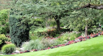
Château d'Angers
Marvel at one of the world’s largest medieval tapestries in this impressive castle and peruse the pretty gardens, vineyard, courtyard and chapel.

Angers Cathedral
In this iconic church, marvel at the impressive stained-glass windows and other artistic delights that date back many centuries.

Place du Ralliement
Enjoy the pleasant ambiance in this spacious meeting point, which has a fountain, many historic buildings and cultural events.
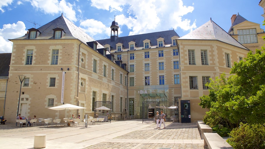
Musée des Beaux-Arts
Browse the enthralling collection of this museum complex, which features a rich array of artworks spanning more than six centuries.
Terra Botanica
Bring your family to Terra Botanica and enjoy the excitement of this theme park in Angers. You can enjoy the coffeehouses while in the area.
Raymond Kopa Stadium
Catch an event at Raymond Kopa Stadium during your trip to Angers. Take in the museums while you're in the area.
Saint-Jacques - Nazareth Hotel Deals

Appart Hotel Odalys City Angers Centre Gare
Clean, comfortable, 24 hour reception, helpful staff, free underground parking (limited number of places), good location.
Reviewed on 2026/1/6

Grand Hotel de la Gare
Everything was great
Reviewed on 2026/3/15

Hôtel Suzane
Yes , very courteous and informative
Reviewed on 2025/11/3

Hotel De Champagne

Continental Hôtel
Very good location center of downtown, easy walkable to many amenities and sites a little tough to get into if you're driving a car. But once there, it was a great stay. Convenient underground parking nearby.
Reviewed on 2025/11/21

Oceania Hotel d'Anjou Angers
Check in was very slow. The door card was not working sometimes. The toilet is the smallest. The bed was okay. The ac air was not working. I give it three stars because the room was quiet and clean.
Reviewed on 2026/2/22
Check Saint-Jacques - Nazareth hotel availability
Other neighborhoods around Saint-Jacques - Nazareth

La Doutre
If you're looking for some top things to see and do in La Doutre and surrounding area, you can visit Maison d'Adam and Place du Ralliement.
Belle-Beille
When in Belle-Beille, you can plan a visit to Maison d'Adam and Place du Ralliement, some noteworthy sights in the nearby area.

Downtown Angers
Downtown Angers is noteworthy for its historic sites, and you can make a stop at top attractions like Maison d'Adam and Place du Ralliement.
Saint-Serge
Saint-Serge might not have many top sights, but Place du Ralliement and Maison d'Adam are two attractions nearby that you can check out.
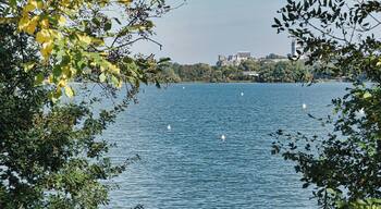
Lac de Maine
If you're looking for some top things to see and do in Lac de Maine and surrounding area, you can visit Quartier de la Cité and Château de Brissac.
La Fayette-Eblé
While visiting La Fayette-Eblé, you might make a stop by sights like Quartier de la Cité and Piscine de LA BAUMETTE.

