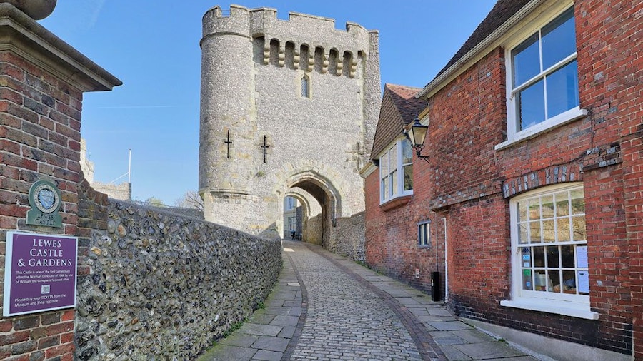
想要更了解路易士背後的歷史,那就到路易士城堡吧! 這是個文化豐富的地區,不妨到海濱和海灘走走吧。
來格林德旅行時,您可以買張票,去格林德本歌劇院看一場表演。 來到這個適合散步的地區,不妨去看看當地各式各樣的商店和頂級餐廳吧!
想知道弗爾背後的歷史,那就花點時間去查爾斯頓農舍吧! 您可以逛一逛海濱,或體驗看看當地的熱鬧酒吧。
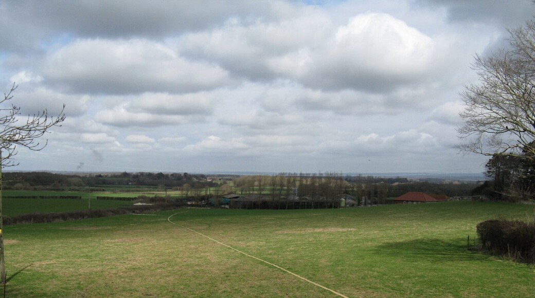
在東霍斯利與哈蘭德之旅中安排一點時間去一趟黑梅農莊吧!
Southover Grange 花園是路易士備受歡迎的自然空間,值得您去多加探索。這是個文化豐富的地區,不妨到海濱和海灘走走吧。
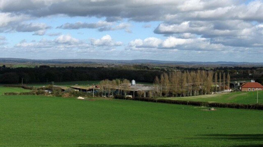
在普蘭普頓之旅中安排一點時間去一趟Plumpton 賽車場吧!來到這個適合散步的地區,不妨去看看當地許許多多的 Spa和熱鬧酒吧吧!


