
Chitterne
Travel Guide


Visit Chitterne

Apex City of Bath Hotel
"Check in was quick, got in slightly earlier than advertised. Helpful staff. Ended up being upgraded to a family room with two beds, which was a bit unnecessary. Room was ok, surprised how poor the fittings are despite the age of the hotel. Desk chair completely ripped up, cupboards bashed. Stripped ..."
Reviewed on 2026/6/22

The Z Hotel Bath
"Generally good - took awhile for the room to cool down. Parking was difficult - car park was nearby but a nightmare to find a place to losd/unload"
Reviewed on 2026/6/22

Hampton by Hilton Bath City
"Location is fantastic, very close to the major touristic locations but just off the centre enough to be quiet. Room was spacious and th bed very comfortable. Breakfast was pretty standard, wished they had a bit more variety but that is just personal preference. Staff were all very friendly and ..."
Reviewed on 2026/6/22

Hiding Space - Westgate Apartments
"Amazing find. Clean and well designed with large kitchen and a nice sitting area. No stairs but that didn’t bother me. Well worth the effort"
Reviewed on 2026/6/22

Hiding Space - Trim Street Apartments
"This is a lovely location in Bath. We were close to the theater, the Roman Baths and the abbey. It's the perfect location for touristing in Bath. It took us a while to find the location, as our mobile app and the street names didn't always work together. We should have just called for directions. ..."
Reviewed on 2026/6/21

Stone Circle Glamping
"It was a beautiful place! The host was very nice and friendly; she came out to help us with things we could have read in the info packet she’d emailed, but she didn’t display the least bit of annoyance. Instead, she conversed with us a bit about the property. The tents are so nice and gave little ..."
Reviewed on 2026/6/16
Popular places to visit

Longleat Safari and Adventure Park
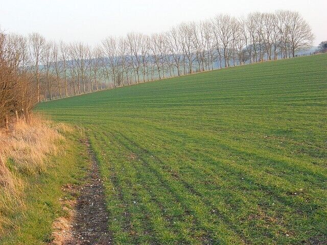
Why not see the exotic and native animals who live at Longleat Safari and Adventure Park during your vacation in Warminster? Wander the picturesque gardens or discover the beautiful countryside in this quaint area.
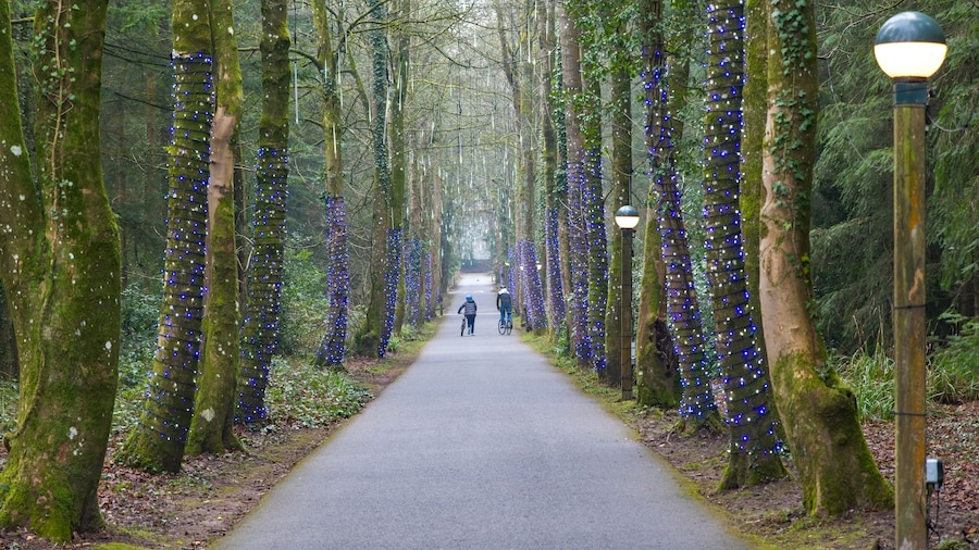
Center Parcs Longleat Forest
Bring the family to Center Parcs Longleat Forest and enjoy the excitement of this theme park in Warminster. Discover the area's beautiful countryside and top-notch restaurants.
Longleat
Find out about the history of Horningsham with a stop at Longleat. Amble around this quaint area's picturesque gardens and enjoy its top-notch restaurants.

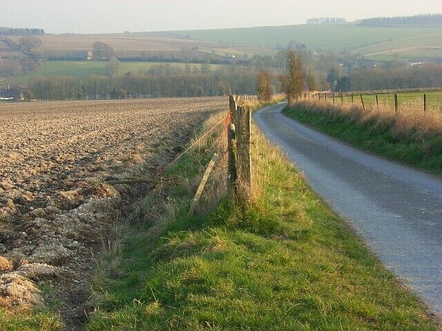
Stourhead
You can find out about the history of Stourton with a visit to Stourhead. Discover the beautiful countryside and lively bars in this quaint area.
Stourhead Garden
Find out about the history of Stourton with a stop at Stourhead Garden. Amble around this quaint area's picturesque gardens and enjoy its lively bars.
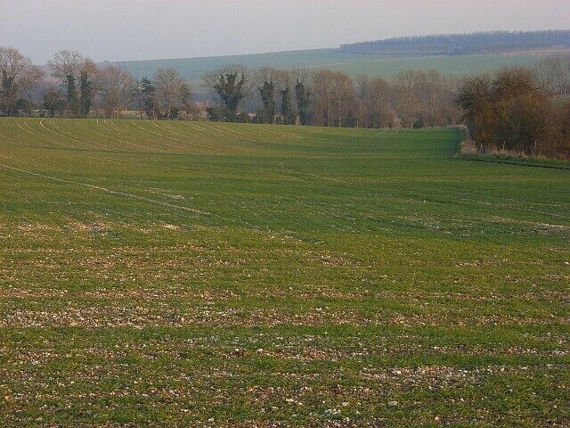
Shearwater Lake
Commune with nature and explore the great outdoors at Shearwater Lake during your travels in Longbridge Deverill. Amble around this quaint area's picturesque gardens and enjoy its lively bars.


