
Val-d'Oronaye
Travel Guide
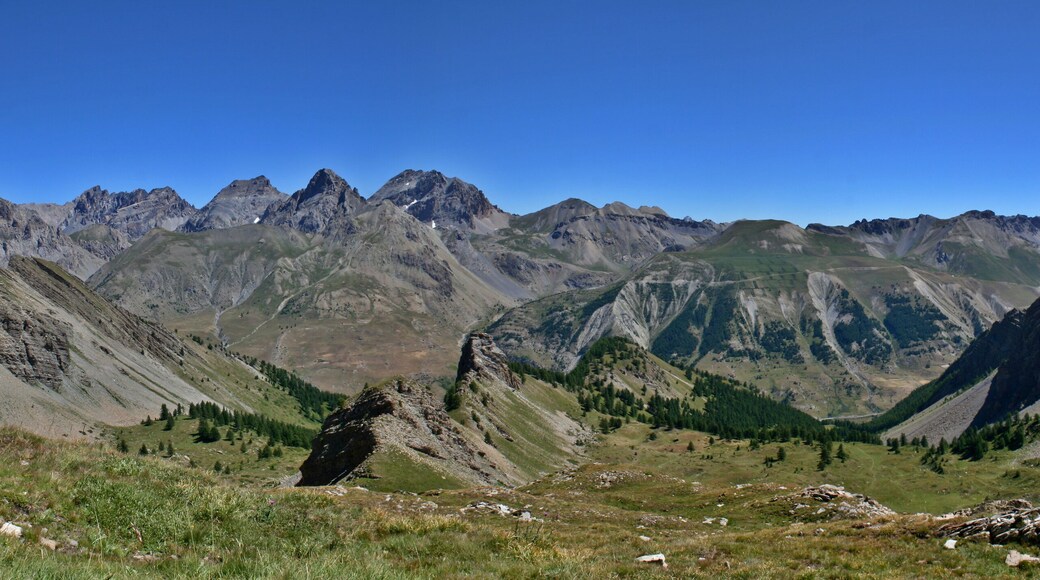


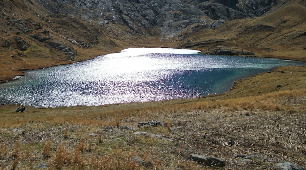
Visit Val-d'Oronaye

Hotel Lacour
Rn 94 Eygliers Gare Eygliers
The price is NT$3,490 per night from Jul 18 to Jul 19
NT$3,490
NT$3,969 total
Jul 18 - Jul 19
includes taxes & fees
Book a stay at this ski hotel in Eygliers. Enjoy free WiFi, free parking, and breakfast (surcharge). Popular attractions Eygliers Water Reservoir and Fontaine ...
9.2/10 Wonderful! (162 reviews)
"Très bien situé (juste à côté de la gare). Le personnel était très courtois."
Reviewed on 2026/7/4

Hotel La Robeyere, BW Signature Collection
La Robéyère Embrun Hautes Alpes
The price is NT$5,325 per night from Jul 16 to Jul 17
NT$5,325
NT$6,059 total
Jul 16 - Jul 17
includes taxes & fees
Book a stay at this spa hotel in Embrun. Enjoy free WiFi, free parking, and a full-service spa. Popular attractions Place Eugene Barthelon and Aqua Park Embrun ...
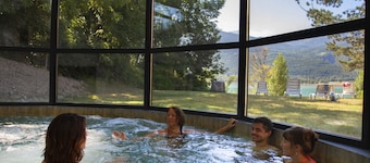
Chadenas & Spa
Chem. de Chadenas Puy-Sanieres Hautes-Alpes
The price is NT$4,270 per night from Jul 19 to Jul 20
NT$4,270
NT$4,931 total
Jul 19 - Jul 20
includes taxes & fees
Book a stay at this spa hotel in Puy-Sanieres. Enjoy free WiFi, a full-service spa, and 2 restaurants. Popular attractions Embrun Reservior and Aqua Park Embrun ...
7/10 Good! (2 reviews)
"Chambre : volets et fenêtres grandes ouvertes = température relevée à 36 degrés poussières - toiles d’araignée - couette souillée d'urine - pas de savonnette - pas de gel douche. Très très très déçu par cet hôtel 3 étoiles"
Reviewed on 2026/7/5
Lowest nightly price found within the past 24 hours based on a 1 night stay for 2 adults. Prices and availability subject to change. Additional terms may apply.

SOWELL RÉSIDENCES New Chastillon
Centre Station Isola Alpes-Maritimes
Book a stay at this ski residence in Isola. Enjoy free WiFi, breakfast (surcharge), and a sauna. Popular attractions Front de Neige Ski Lift and Pelevos Ski ...
7.2/10 Good! (220 reviews)
"This is a great spot in Isola. With a ski locker room on-site, you are in the perfect location to get straight onto the piste, and to the ski lessons. The staff were friendly and helpful. We had a studio for 3 people. It was compact, but it had everything you need, and is one of the better hotels ..."
Reviewed on 2026/4/4

Résidence Sunêlia Les Logis d'Orres
Pramouton Les Orres Hautes Alpes
Book a stay at this ski residence in Les Orres. Enjoy free WiFi, free parking, and breakfast (surcharge). Popular attractions Champ Lacas Ski Lift and Jungle ...
8.4/10 Very Good! (103 reviews)
"Great views. Clean property. Helpful staff. Good skiing"
Reviewed on 2026/3/27

SOWELL RÉSIDENCES Pra Loup
Le Village Uvernet-Fours Alpes-de-Haute-Provence
Book a stay at this ski residence in Uvernet-Fours. Enjoy free WiFi, free parking, and breakfast (surcharge). Popular attractions Pra-Loup and Clapiers Ski Lift ...
Lowest nightly price found within the past 24 hours based on a 1 night stay for 2 adults. Prices and availability subject to change. Additional terms may apply.

