
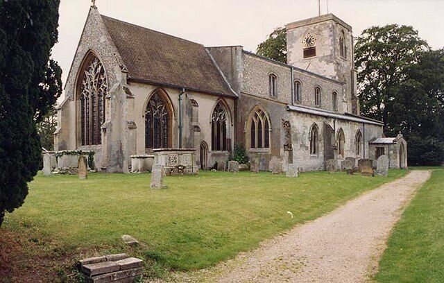
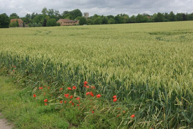
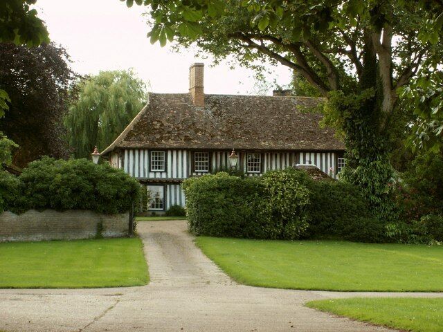
Swaffham Bulbeck
Travel Guide
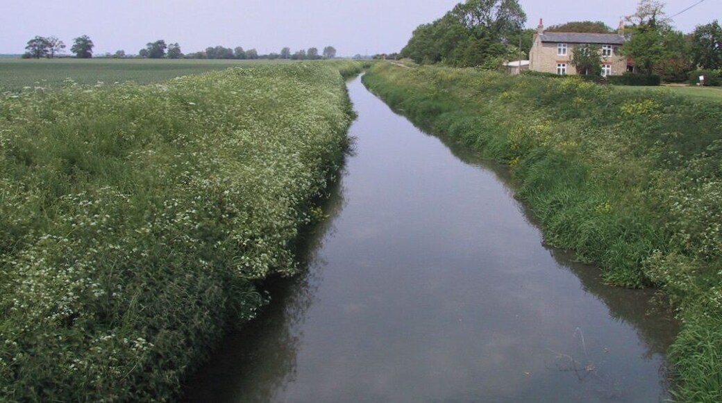

Visit Swaffham Bulbeck

ibis Cambridge Central Station
2 Station Square Cambridge England
The price is NT$3,200 per night from Jul 26 to Jul 27
NT$3,200
NT$3,840 total
Jul 26 - Jul 27
includes taxes & fees
Stay at this hotel in Cambridge. Enjoy free WiFi, breakfast (surcharge), and a 24-hour front desk. Our guests praise the helpful staff and the clean rooms in ...
9/10 Wonderful! (1,013 reviews)
"But wifi isn't free. Interesting."
Reviewed on 2026/7/9
Wilde Cambridge City Centre
Round Church Street Cambridge England
The price is NT$6,471 per night from Aug 10 to Aug 11
NT$6,471
NT$7,766 total
Aug 10 - Aug 11
includes taxes & fees
Stay at this hotel in Cambridge. Enjoy breakfast (surcharge), a 24-hour fitness center, and a 24-hour front desk. Popular attractions Bridge of Sighs and Wren ...
9.6/10 Exceptional! (338 reviews)
"Great all round experience"
Reviewed on 2026/7/12

Hyatt Centric Cambridge
37 Eddington Avenue Cambridge England
The price is NT$3,128 per night from Aug 9 to Aug 10
NT$3,128
NT$3,753 total
Aug 9 - Aug 10
includes taxes & fees
Book a stay at this business-friendly hotel in Cambridge. Enjoy free WiFi, breakfast (surcharge), and room service. Our guests praise the helpful staff and the ...
9/10 Wonderful! (715 reviews)
"Was very nice stay"
Reviewed on 2026/7/12
Lowest nightly price found within the past 24 hours based on a 1 night stay for 2 adults. Prices and availability subject to change. Additional terms may apply.

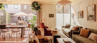
Turing Locke Cambridge
47 Eddington Ave Cambridge England
Stay at this aparthotel in Cambridge. Enjoy free WiFi, a rooftop terrace, and breakfast (surcharge). Our guests praise the helpful staff and the clean rooms ...
8.8/10 Excellent! (634 reviews)
"Awful experience and worse customers service. During 30 + degree heat, the air conditioning in the rooms want working. It was in the corridor and reception, but not in the rooms. When I raised it with reception they kindly told me I could check out! To add insult to injury, from 7.30am they had renovations ..."
Reviewed on 2026/7/11

The Regent Aparthotel
41 Regent St Cambridge England
Stay at this aparthotel in Cambridge. Enjoy free breakfast, free WiFi, and daily housekeeping. Our guests praise the helpful staff and the clean rooms in our ...
9.2/10 Wonderful! (299 reviews)
"No receptacles in the bathroom are our only complaint."
Reviewed on 2026/7/8

Charles Hope Cambridge
Dobb Way Girton England
Stay at this apartment in Cambridge. Enjoy free WiFi, a 24-hour fitness center, and parking (surcharge). Popular attractions Castle Hill and Kettle's Yard are ...
6.8/10 (5 reviews)
"Check-in process was a nightmare because they didn't"
Reviewed on 2026/7/8
Lowest nightly price found within the past 24 hours based on a 1 night stay for 2 adults. Prices and availability subject to change. Additional terms may apply.


