
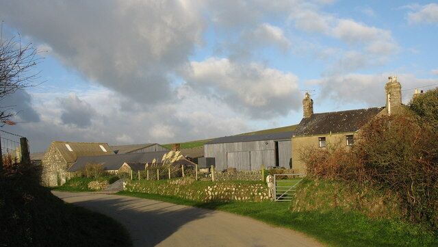
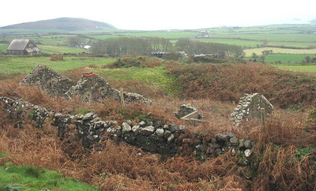
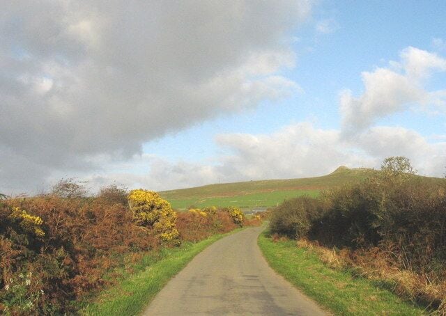
Rhiw
Travel Guide
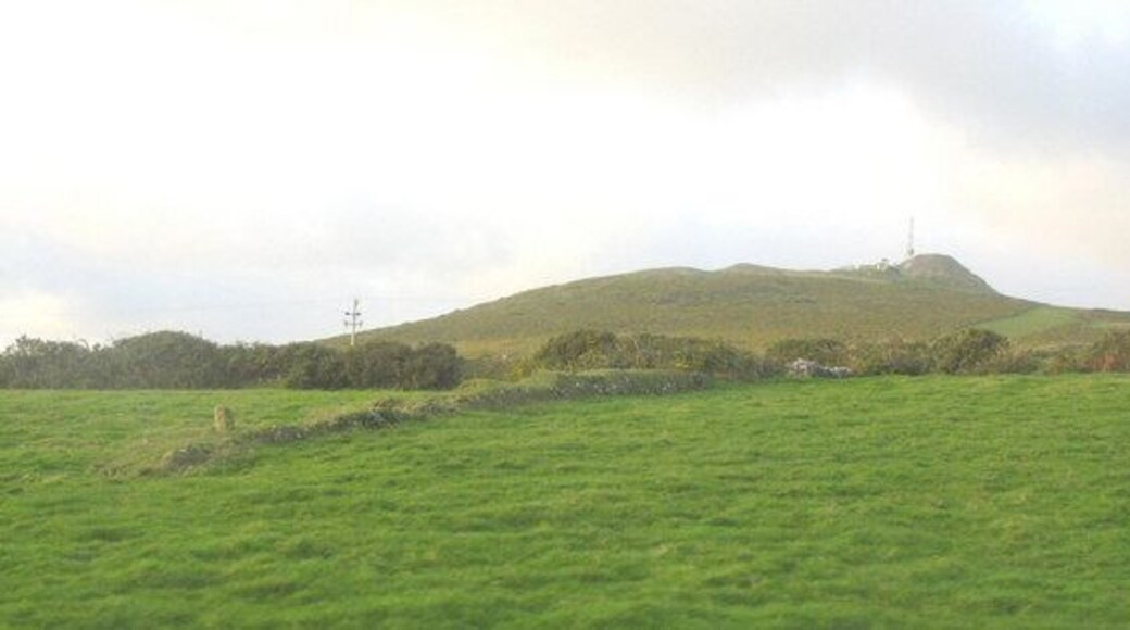
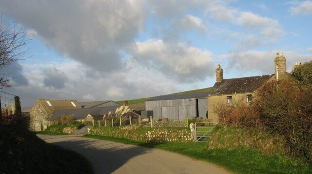
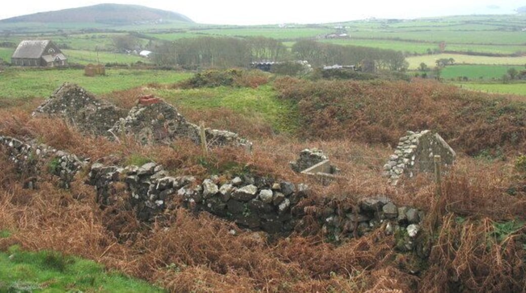
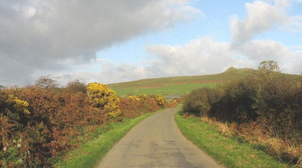
Visit Rhiw
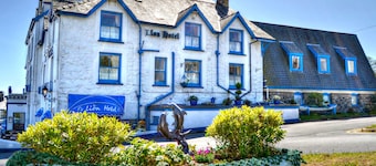
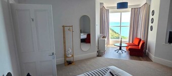
Lion Hotel and Studio Apartments
Y Maes Criccieth Wales
The price is NT$3,902 per night from Aug 2 to Aug 3
NT$3,902
NT$4,683 total
Aug 2 - Aug 3
includes taxes & fees
Stay at this hotel in Criccieth. Enjoy free WiFi, free parking, and 2 restaurants. Our guests praise the breakfast and the helpful staff in our reviews. Popular ...
8.4/10 Very Good! (365 reviews)
"As a visually impaired single person i was a little worried, but i needn’t have been . Staff were courteous and helpful as soon as i walked in. Very pleased with room, plenty of space bright and airy, shower a little small, however ok, good water flow and hot. Breakfast buffet style, excellent choice, ..."
Reviewed on 2026/7/19
Marine Hotel
Marine Cres Criccieth Wales
The price is NT$4,553 per night from Aug 2 to Aug 3
NT$4,553
NT$5,463 total
Aug 2 - Aug 3
includes taxes & fees
Stay at this hotel in Criccieth. Enjoy free WiFi, free parking, and daily housekeeping. Popular attractions Criccieth Castle and Lloyd George Museum are located ...
Bryn Noddfa
Lon Uchaf Pwllheli Wales
The price is NT$4,513 per night from Jul 29 to Jul 30
NT$4,513
NT$5,849 total
Jul 29 - Jul 30
includes taxes & fees
Book a stay at this golf hotel in Pwllheli. Enjoy free breakfast, free WiFi, and free parking. Our guests praise the breakfast and the helpful staff in our reviews. ...
9.8/10 Exceptional! (149 reviews)
"Wonderful breakfast and evening meal. Staff were helpful and attentive. Room spacious and well maintained. Would definitely come here again"
Reviewed on 2026/7/19
Lowest nightly price found within the past 24 hours based on a 1 night stay for 2 adults. Prices and availability subject to change. Additional terms may apply.

Bull Bach
Bull Bach Tan Y Llan Nefyn Pwllheli Wales
Book a stay at this golf cottage in Pwllheli. Enjoy free WiFi, free parking, and a garden. Popular attractions Nefyn Maritime Museum and Nefyn Beach are located ...

Ty'n Ffridd Bach
Ty'n Ffridd Chwilog Pwllheli Wales
Book a stay at this golf cottage in Pwllheli. Enjoy free WiFi, free parking, and a garden. Popular attractions Lloyd George Museum and Glasfryn Parc are located ...
8/10 Very Good! (2 reviews)
"It was clean and tidy and decent kitchen facilities, there was no coffee table or table to eat at so we had to eat on our laps which was not ideal. The garden could do with a gate as it's on the main road to Pwllheli - we could not let our dogs out. The garden was chipping pretty much and surrounded ..."
Reviewed on 2026/7/3

Tyddyn Sianel - Celyn
Criccieth Wales
Book a stay at this golf cottage in Criccieth. Enjoy free WiFi, free parking, and private hot tubs. Popular attractions Lloyd George Museum and Criccieth Castle ...
10/10 Exceptional! (3 reviews)
"Everything about this cottage was perfect. The owners are very friendly and professional. We will be highly recommending this property to family and friends."
Reviewed on 2026/7/11
Lowest nightly price found within the past 24 hours based on a 1 night stay for 2 adults. Prices and availability subject to change. Additional terms may apply.

