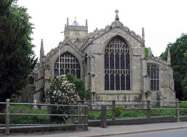
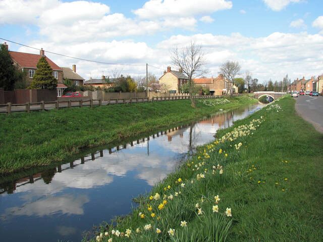
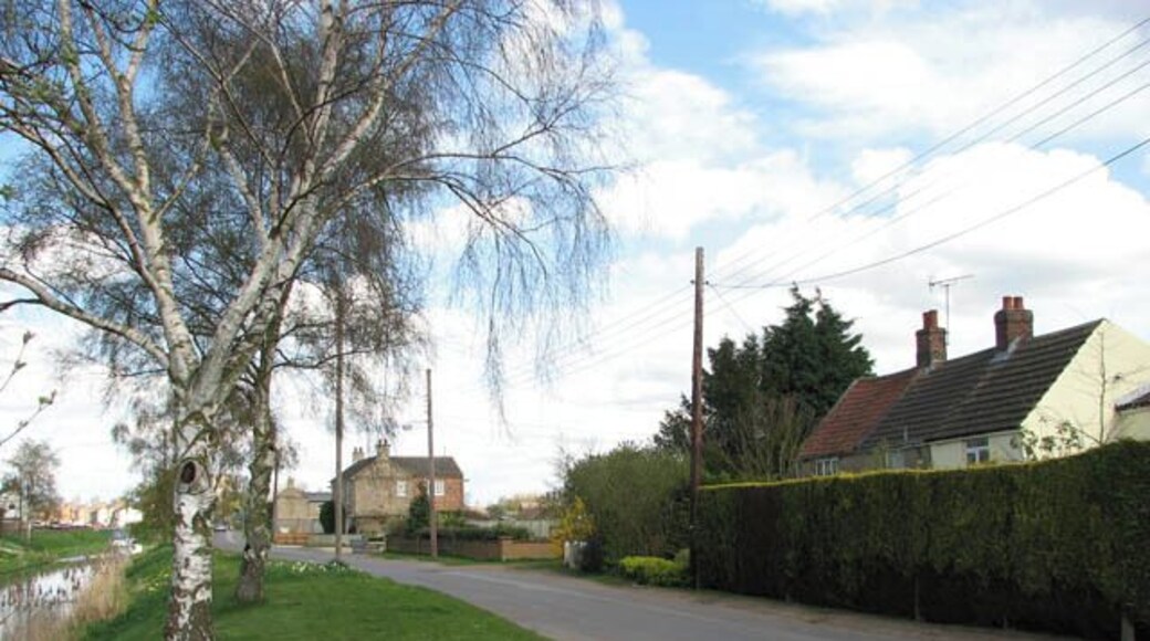
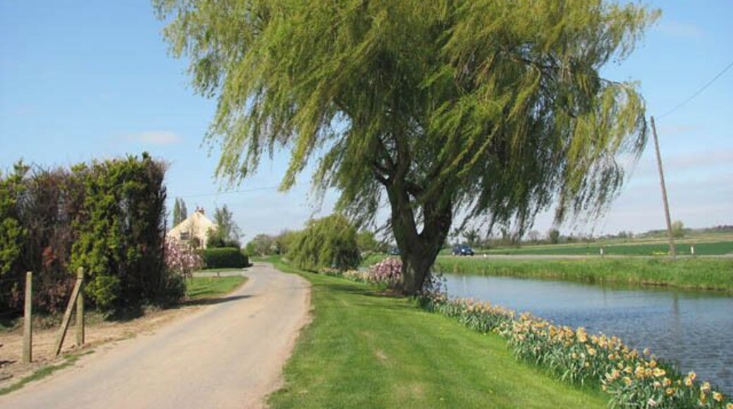
奧特韋爾

旅遊指南

Fenland: lupins in bloom, a crop of nursery stock at Outwell. When the nursery stock is in bloom the fields are startlingly colourful.
Saint Clement Parish church, Outwell, Norfolk
Wisbech & Upwell tramway - Goodman's Crossing Wisbech & Upwell tramway's Upwell depot > 1241222 was 5 miles 72 chains distant from Wisbech. The line had eleven sidings, with two originally allocated for passenger traffic. During the fruit season the sidings could hold more than a hundred vans. The depot had a cattle dock, a depot office, a passenger waiting room, and a coal merchant's office and staithes. There was also an ash pit, and an old GER tender was used for a water tower until 1953 when it was removed. http://www.lner.info/co/GER/wisbech/route.shtml From the Upwell depot, which was the southern terminus of the tramway, the trains headed northwards > https://www.geograph.org.uk/photo/1241251 to the village of Outwell, crossing Small Lode > https://www.geograph.org.uk/photo/1241268 and passing a farm before emerging on Low Side > https://www.geograph.org.uk/photo/1241442 which was the final request stop. A farm driveway now runs where the railway trackbed used to be > https://www.geograph.org.uk/photo/1241431. Running parallel with Well Creek (the old course of the River Nene) the tramway then ran along the grassy verge seen in the foreground before reaching the final section of reserved track at Goodman's Crossing request stop before reaching Outwell Village depot. Outwell Village depot > https://www.geograph.org.uk/photo/1241458 was located just past the bridge seen in the background - by the old course of the River Nene and adjoined by St Clement's church on the other side. It originally had four sidings and was equipped with coal chutes to transfer coal to barges for distribution through the Fens. The depot had a small office building built from red brick > https://www.geograph.org.uk/photo/1241479 and an old van body for storage. The brick office still stands, but most of the depot site has since been built over by modern housing. The name of the cul-de-sac/access road is called "The Tramway". When during the 13th century the estuary silted up, the fens surrounding the market town and port of Wisbech were reclaimed for agricultural use. The new agricultural prosperity soon attracted railways such as the Eastern Counties Railway which opened a branch in 1847. In 1848 the East Anglian Railway built a branch from Watlington. A third line was built by the Peterborough, Wisbech & Sutton Bridge Railway (later the Midland & Great Northern Joint Railway) which opened a station on the other side of the River Nene in 1866. The trains carried fruit and vegetables to markets as far afield as London. In addition, the construction of a tramway line connecting the villages Upwell and Outwell with Wisbech commenced in 1882. Board of Trade's tram restrictions resulted in the unusual-looking locomotives which not only had speed restrictions but controls at both ends and wooden cowcatchers and skirts over the wheels. Six trams a day in each direction provided passenger services, with the full one way journey taking one hour. By October 1884 traffic had grown to 3000 passengers per week, with peaks of 2000 in a day for fetes and other special events. The tram competed with a canal that ran between Wisbech and Upwell and with the canal being in a poor financial condition the tram eventually finished it off. When motor omnibuses started to appear, however, passenger numbers declined drastically and passenger services were withdrawn in 1927, whereas freight traffic continued to flourish. With the introduction of two Drewry Shunters (BR Class 04) in 1952, Wisbech & Upwell became Britain's first all-diesel line. The line closed in March 1966. http://www.lner.info/co/GER/wisbech/history.shtml
Low Side Northeasterly view along Low Side which runs parallel with the old course of the River Nene (seen at left). After leaving Wisbech & Upwell tramway's Upwell depot > https://www.geograph.org.uk/photo/1241222 - the line's southern terminus - the trains headed northwards > https://www.geograph.org.uk/photo/1241251 to the village of Outwell, crossing Small Lode > https://www.geograph.org.uk/photo/1241268 and passing a farm before emerging on Low Side which was the final request stop. A farm driveway now runs where the railway trackbed used to be > > https://www.geograph.org.uk/photo/1241431. Low side is the name of the road with runs parallel with the old course of the River Nene - the tram followed this road's eastern verge. http://www.lner.info/co/GER/wisbech/route.shtml When during the 13th century the estuary silted up, the fens surrounding the market town and port of Wisbech were reclaimed for agricultural use. The new agricultural prosperity soon attracted railways such as the Eastern Counties Railway which opened a branch in 1847. In 1848 the East Anglian Railway built a branch from Watlington. A third line was built by the Peterborough, Wisbech & Sutton Bridge Railway (later the Midland & Great Northern Joint Railway) which opened a station on the other side of the River Nene in 1866. The trains carried fruit and vegetables to markets as far afield as London. In addition, the construction of a tramway line connecting the villages Upwell and Outwell with Wisbech commenced in 1882. Board of Trade's tram restrictions resulted in the unusual-looking locomotives which not only had speed restrictions but controls at both ends and wooden cowcatchers and skirts over the wheels. Six trams a day in each direction provided passenger services, with the full one way journey taking one hour. By October 1884 traffic had grown to 3000 passengers per week, with peaks of 2000 in a day for fetes and other special events. The tram competed with a canal that ran between Wisbech and Upwell and with the canal being in a poor financial condition the tram eventually finished it off. When motor omnibuses started to appear, however, passenger numbers declined drastically and passenger services were withdrawn in 1927, whereas freight traffic continued to flourish. With the introduction of two Drewry Shunters (BR Class 04) in 1952, Wisbech & Upwell became Britain's first all-diesel line. The line closed in March 1966. http://www.lner.info/co/GER/wisbech/history.shtml
Crown Lodge Hotel

Crown Lodge Hotel

3 out of 5
Downham Road Wisbech England
可全額退款現在預訂,入住時付款
3月11日至3月12日價格為每晚 NT$3,891
NT$3,891
總價 NT$4,669
3 月 11 日 - 3 月 12 日
含稅金和其他費用
此飯店位於威斯貝奇。這裡有免費自助停車、可供應早餐和健身中心等設施服務。聖母與聖查爾斯·波羅米奧和威茲比奇與芬蘭博物館等著名景點就在附近。
9.4/10 Exceptional! (125 則評論)
Yes

評論日期:2026 年 2 月 13 日

Crown Lodge Hotel
公爵首選飯店

公爵首選飯店

4 out of 5
5-6 Tuesday Market Place King's Lynn England
此飯店位於金斯林。這裡有免費無線上網、2 間餐廳和可供應早餐等設施服務。許多旅客在評論中提到,他們很喜歡這間住宿的友善員工和乾淨客房。聖尼可拉斯教堂和真實庭院漁民博物館等著名景點就在附近。
公爵首選飯店
鬱金香皇后 - 斯伯丁馬斯頓旅館

鬱金香皇后 - 斯伯丁馬斯頓旅館

4 out of 5
Goodison Road Spalding England
3月8日至3月9日價格為每晚 NT$2,118
NT$2,118
總價 NT$2,541
3 月 8 日 - 3 月 9 日
含稅金和其他費用
此商務飯店位於斯伯丁。這裡有免費無線上網、免費自助停車和可供應早餐等設施服務。許多旅客在評論中提到,他們很喜歡這間住宿的友善員工和乾淨客房。埃斯克夫菲大廳博物館和南荷蘭中心等著名景點就在附近。
鬱金香皇后 - 斯伯丁馬斯頓旅館
最低每晚價格是根據過去 24 小時以 2 位成人住宿 1 晚為條件所搜尋到的價格。價格和供應情況可能會有所變動。可能另外有其他條件限制。
布里克薩吉客房 - 金斯林漫步私人度假屋

布里克薩吉客房 - 金斯林漫步私人度假屋

3.5 out of 5
10 Blackfriars Road King's Lynn England
此私人度假屋位於金斯林。這裡有客房清潔服務等設施服務。林恩博物館和格雷弗萊爾斯塔等著名景點就在附近。
布里克薩吉客房 - 金斯林漫步私人度假屋
The Barn

The Barn

3.5 out of 5
3 Theatre Street Swaffham England
此公寓位於斯沃弗姆。這裡有免費自助停車等設施服務。斯沃弗姆博物館和市集廣場等著名景點就在附近。
The Barn
戴爾女士小屋飯店

戴爾女士小屋飯店

3 out of 5
King's Lynn England
此高爾夫鄉村房屋位於金斯林。這裡有免費無線上網、免費自助停車和花園等設施服務。海關大樓和老監獄屋等著名景點就在附近。
10/10 Exceptional! (2 則評論)
Lovely cottage
Lovely cottage, quiet peaceful location and owners are lovely

評論日期:2025 年 8 月 20 日

戴爾女士小屋飯店
最低每晚價格是根據過去 24 小時以 2 位成人住宿 1 晚為條件所搜尋到的價格。價格和供應情況可能會有所變動。可能另外有其他條件限制。

熱門景點

奧特韋爾附近的城市