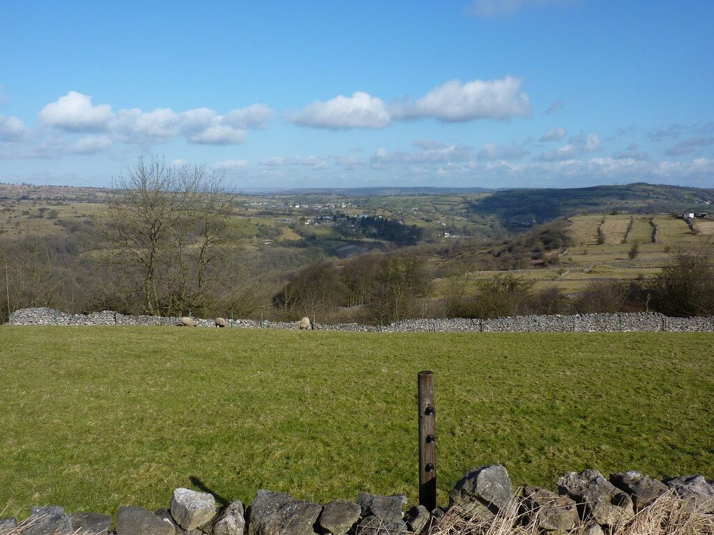
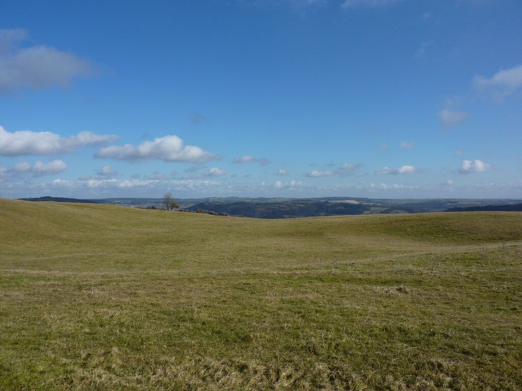
Middleton
Travel Guide


Visit Middleton

Derby Mickleover Hotel, BW Signature Collection
Etwall Road Derby England
The price is NT$2,157 per night from Aug 9 to Aug 10
NT$2,157
NT$2,588 total
Aug 9 - Aug 10
includes taxes & fees
Book a stay at this business-friendly hotel in Derby. Enjoy free WiFi, free parking, and 3 bars/lounges. Our guests praise the breakfast and the pool in our ...
7.8/10 Good! (1,009 reviews)
"Perhaps now looking a bit tired here and there, it still emerges as a great place to stay. The rooms are a good size, air-conditioned (ours was noisy, though) and with a bath, unusual nowadays. The pool is fantastic and very welcome in the hot weather. Good breakfast. Helpful staff."
Reviewed on 2026/7/26

mour Hotel
Lake View Drive, Sherwood Park Nottingham England
The price is NT$3,595 per night from Jul 30 to Jul 31
NT$3,595
NT$4,314 total
Jul 30 - Jul 31
includes taxes & fees
Book a stay at this luxury hotel in Nottingham. Enjoy free WiFi, free parking, and breakfast (surcharge). Popular attractions Felley Priory Gardens and Portland ...
8/10 Very Good! (1,004 reviews)
"Parking Free a plus Hotel a little tired Evening meal pricey so had the fish and chips, really very poor quality Hotel could be nice with some parts refreshed and a decent menu"
Reviewed on 2026/7/22

Buxton Crescent
The Crescent Buxton England
The price is NT$6,147 per night from Jul 29 to Jul 30
NT$6,147
NT$7,377 total
Jul 29 - Jul 30
includes taxes & fees
Book a stay at this luxury hotel in Buxton. Enjoy free breakfast, free WiFi, and valet parking (surcharge). Our guests praise the breakfast and the helpful staff ...
Lowest nightly price found within the past 24 hours based on a 1 night stay for 2 adults. Prices and availability subject to change. Additional terms may apply.

Borrowfield Lodge
Nottingham Road Derby ENG
Stay at this residence in Derby. Enjoy free parking, daily housekeeping, and a computer station. Popular attractions Donington Park Racing Circuit and Elvaston ...
9.8/10 Exceptional! (26 reviews)
"Only stayed one night.Did not realize when booking that access could only be made via coded keysafe.Complicated process even with instructions.Room clean and with good ."
Reviewed on 2026/5/29

Dalby House Apartments
100 Radbourne St Derby England
Stay at this apartment in Derby. Enjoy free WiFi and free parking. Popular attractions Kedleston Hall and Pickford's House Museum are located nearby.
9.6/10 Exceptional! (4 reviews)
"Excellent little quiet place in Derby. Nice big flat and the staff all helpful on the request. Highly recommended."
Reviewed on 2026/7/15

Kingfield Boutique Hotel
5 Kingfield Rd Sheffield England
Book a stay at this business-friendly aparthotel in Sheffield. Enjoy free WiFi, free parking, and laundry facilities. Popular attractions Utilita Arena Sheffield ...
6/10 (8 reviews)
"Do not book this hotel. This is a serious review after we felt that the hotel was unsafe for 2 female friends, looking for accommodation close to an event in the city. The hotel is not secure, groups of men in the car park, room not locked on arrival with ground floor windows open, discarded medication ..."
Reviewed on 2026/6/28
Lowest nightly price found within the past 24 hours based on a 1 night stay for 2 adults. Prices and availability subject to change. Additional terms may apply.


